SEABAS pilot tests cross-border impact assessment in the Bothnian Sea
This autumn, a pilot was launched as part of the SEABAS project to test a methodology for cumulative impact assessment within Finland’s maritime spatial planning process. The pilot also marks the first time that a joint cross-border impact assessment of Finnish and Swedish maritime spatial plans is being carried out in the Bothnian Sea. The aim of the pilot is to assess the methodology’s suitability within the Finnish planning context, identify potential areas for improvement and support the impact assessment of maritime spatial plans in the Baltic Sea region.
Halfway through October, the third partner meeting of the SEABAS project (2025–2027) was hosted in Latvia. The Finnish maritime spatial planning pilot is well under way, and the face-to-face discussions held in Riga helped to drive the work forward. The pilot, which focuses on cumulative impact assessment, is running in parallel with the mandatory national impact assessment, but it proceeds independently, offering a flexible opportunity to trial new types of assessment methods outside the official process. The material to be tested is the methodological framework for cumulative impact assessment, which was published in June. As maritime spatial planning is carried out from different starting points in the Baltic Sea countries, it is important to test the applicability of the project’s outputs in real-life planning situations. The methodology is also being piloted in Latvia.
Cumulative impacts refer to the effects that accumulate in the marine environment over time from various sources of pressure. This includes pressures arising from human activities, but also other stress factors affecting the marine environment. The geospatial modelling to be produced will take into account valuable marine areas and their sensitivity to various pressures.
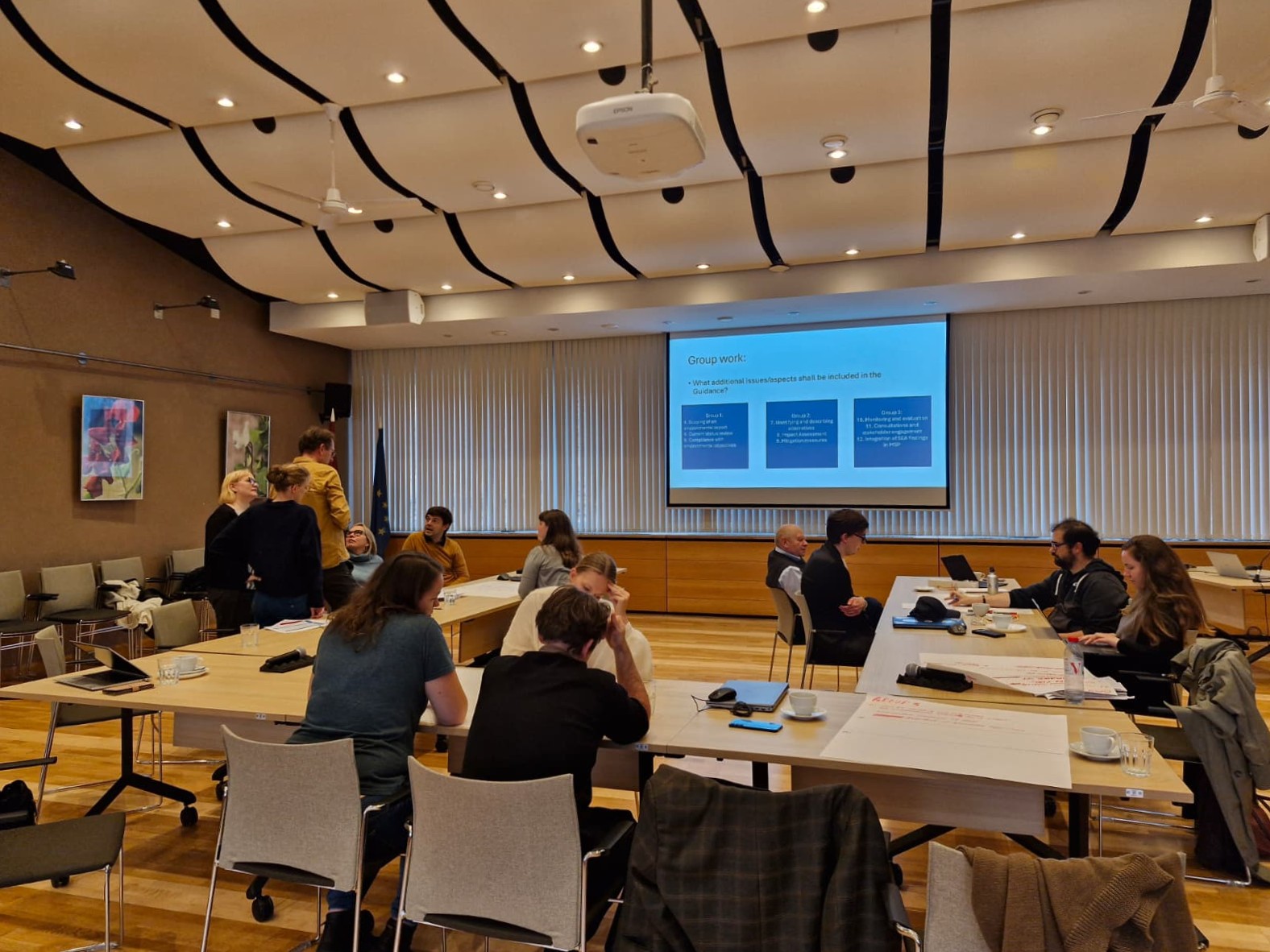
Group work in Riga in October 2026.
Preliminary draft plan to be assessed for cumulative impacts
The preliminary draft maritime spatial plan published in June is being used as the assessment material in the Finnish pilot. Particular emphasis is placed on the areas of future potential for offshore wind power, as its impacts are estimated to be the most significant of the sectors covered by maritime spatial planning. The assessment will be carried out at two levels: nationally and in collaboration with the Swedish Agency for Marine and Water Management in the Bothnian Sea. The pilot offers the first opportunity to examine the combined impacts of Finnish and Swedish maritime spatial plans, whilst at the same time developing practices for assessing cross-border impacts. The technical aspects of the work are supported by project partners from the University of Tartu and HELCOM. Pressure and impact modelling is carried out using the SPIA tool, which is open to all. The tool is fed with spatial data on impact targets, i.e. marine nature values, as well as current human pressures on marine areas and potential future additional pressures identified in the maritime spatial plan.
The first results of the pilot will be available in spring 2027. The modelling can provide valuable information on the potential significant impacts of the proposed planning solutions. The pilot aims to utilise, as a priority, the marine nature data from the PROTECT BALTIC project, which has been compiled at the same level of detail for the entire Baltic Sea. The aim is for the pilot’s approach to be applicable in other Baltic Sea countries in the future. The results of the pilot and the modelling itself will be examined in relation to the strategic nature of Finland’s maritime spatial planning, planning principles and objectives.
Follow the SEABAS project on social media: SEABAS: Posts | LinkedIn