Multi-level governance set the frame for the MSP interaction forums in 2025
Our marine and coastal areas are at the intersection of many different activities, objectives, and interests. In addition, these areas are managed by several different authorities at various levels, from local to national. So how can we ensure that the processes taking place at different levels support each other? Over the past three years, the Finnish Maritime Spatial Planning Coordination Group has addressed the theme of multi-level governance and stakeholder engagement through the Interreg Baltic Sea2Land project. This autumn, a series of MSP interaction forums were organized where messages related to the plan’s revision were circulated among stakeholders from the national to the regional level in accordance with the multi-level governance structure.
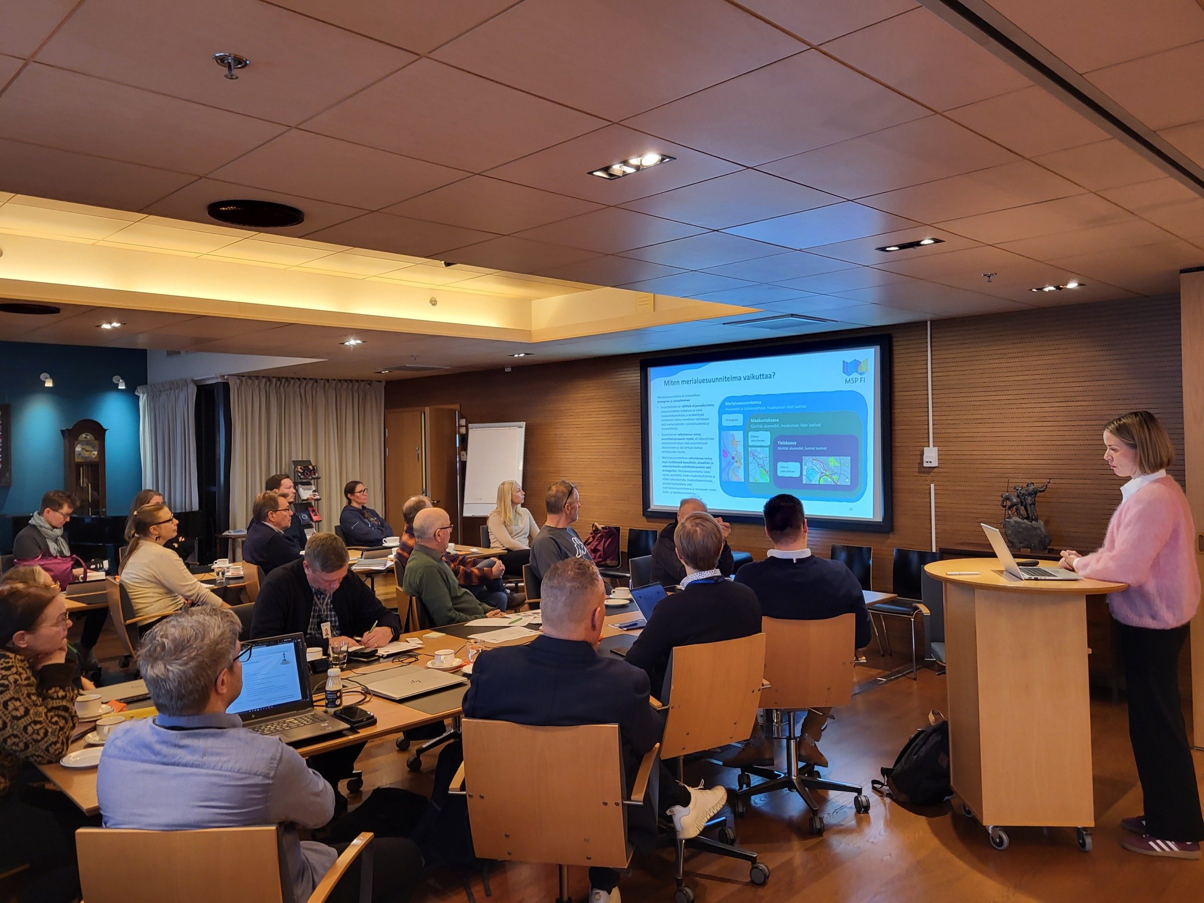
The Northern Bothnian Sea, Kvarken and Bothnian Bay planning area organised two separate events. The first of the two was held in Oulu on 29th October 2025 at the Regional Council of Oulu Region premises.
Effective communication between different authorities and other stakeholders plays an important role in spatial planning. Responsibilities related to the management of seas and coastal areas are divided between several different authorities and levels of administration, from local to national. This multi-level structure makes cooperation important, but also brings its own challenges. Maritime spatial planning has addressed the challenges of multi-level governance in the Baltic Sea2Land project (2023–2025). The project has also considered stakeholder cooperation on a more general level as part of spatial planning processes, which involve a wide range of perspectives and interests. The work has been carried out through regional and national pilots, which you can read more about here.
The learnings and themes of the project have been applied in practice this autumn in maritime spatial planning interaction forums. The series of forums was based on an interaction model created for maritime spatial planning in 2023, according to which stakeholder discussions are held at the national and regional levels with continuous analysis of the lessons learned in terms of both content and facilitation. The interaction forums began with a national event in Helsinki in September and continued with regional events in Helsinki, Oulu, Vaasa, and Turku, ending with a final national event bringing together different levels at the end of November. The work focused on the key strategic guidelines and thematic priority options for the revision. The maritime spatial planning events provided valuable stakeholder input on the various key directions to be reconciled. The results will be used in the drafting phase of the plan, which will begin in early 2026.
The methodological objective of the series of interaction forums was therefore to promote communication between stakeholders operating at different levels. The Baltic Sea2Land project was involved in the autumn events to highlight the importance of the chosen participation model in terms of the overall picture.
Navigator tool assists in tackling planning questions
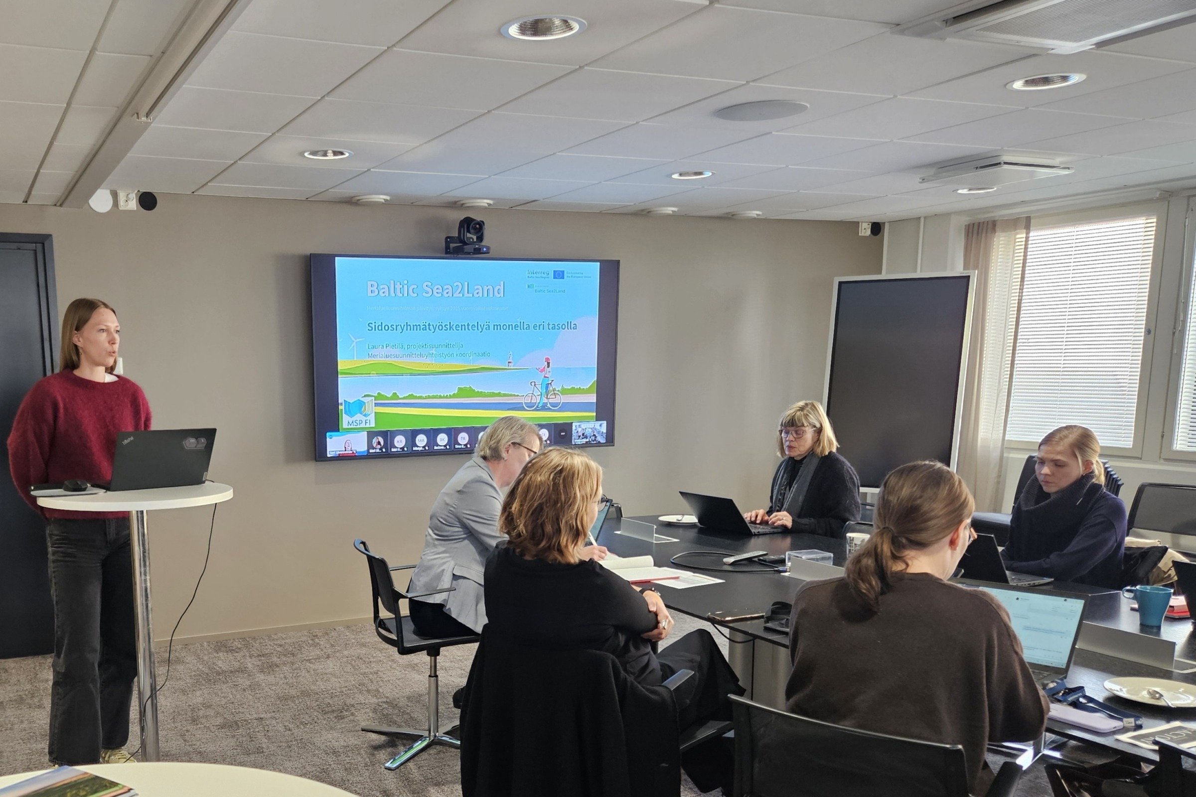
The regional forum for the Gulf of Finland planning area was the first of the regional events. It was organised with a hybrid setup in Helsinki on 29th September 2025. Baltic Sea2Land project and the Navigator tool was presented in all forums.
The Baltic Sea2Land project has produced a tool called Navigator, which supports planning processes related to the use of coastal and marine areas. This digital tool, which is open to everyone, provides comprehensive information on methods for involving stakeholders at different stages of the planning process. Stakeholder engagement is part of the daily operations of planners, therefore the project aimed to use this tool to strengthen existing expertise and provide support for tailoring processes to different situations. In Finland, the Navigator was tested during the development phase in three regional and one national maritime spatial planning pilot projects.
In addition to implementing the multi-level governance tool, the platform can be used to compile useful support materials, link map services, and create interactive maps in data and knowledge hubs. The tool is openly available to everyone. Check out the Navigator here!
The vision phase of the maritime spatial planning revision has been in progress in 2025, and there has been extensive stakeholder participation in the spring sectoral meetings and autumn interaction forums. A new concrete phase of work will begin in early 2026, when the draft plan will be advanced on the planning tables. Thank you to everyone involved in MSP events!
Group work at the Vaasa interaction forum on 30th October 2025. The event was the second of the two forums organised in the Northern planning area, which is geographically the largest of the three.
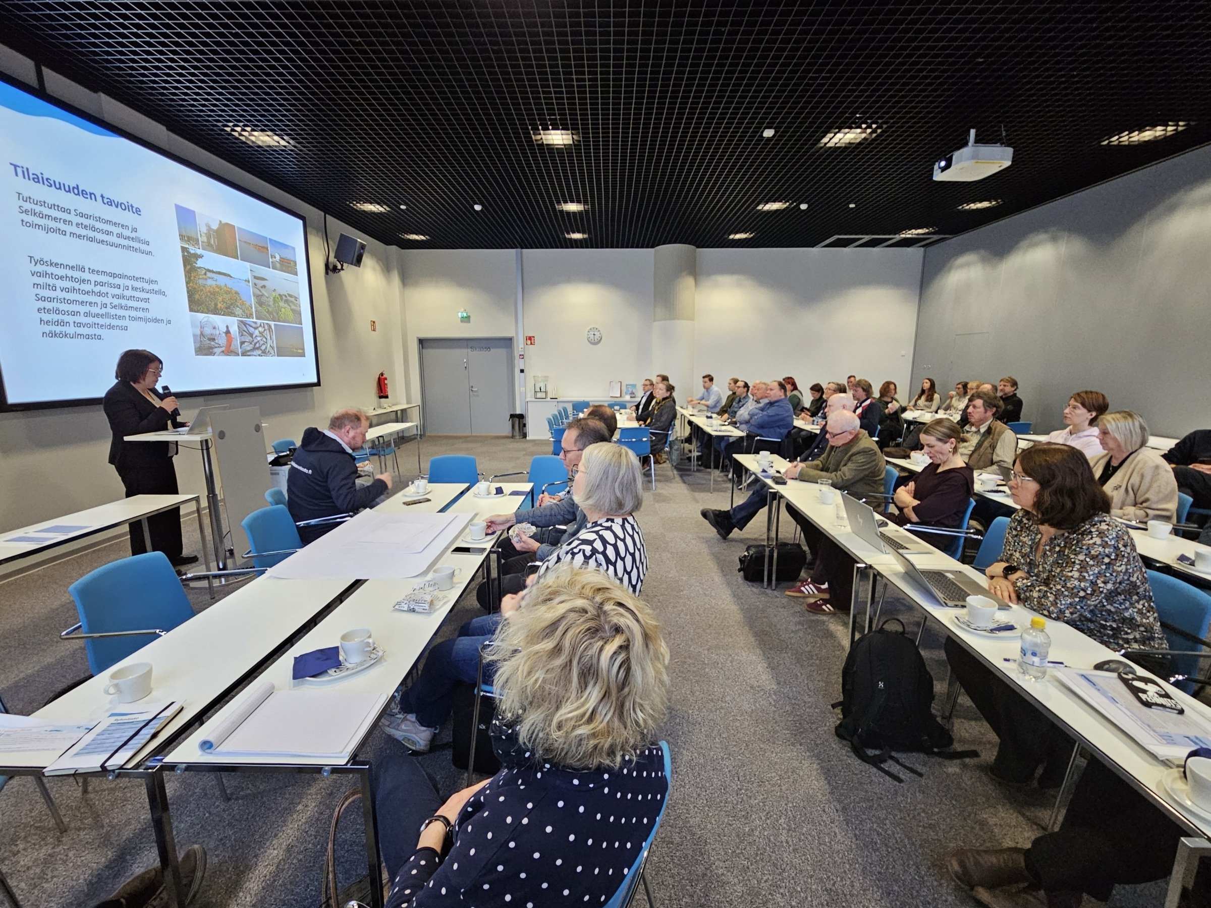
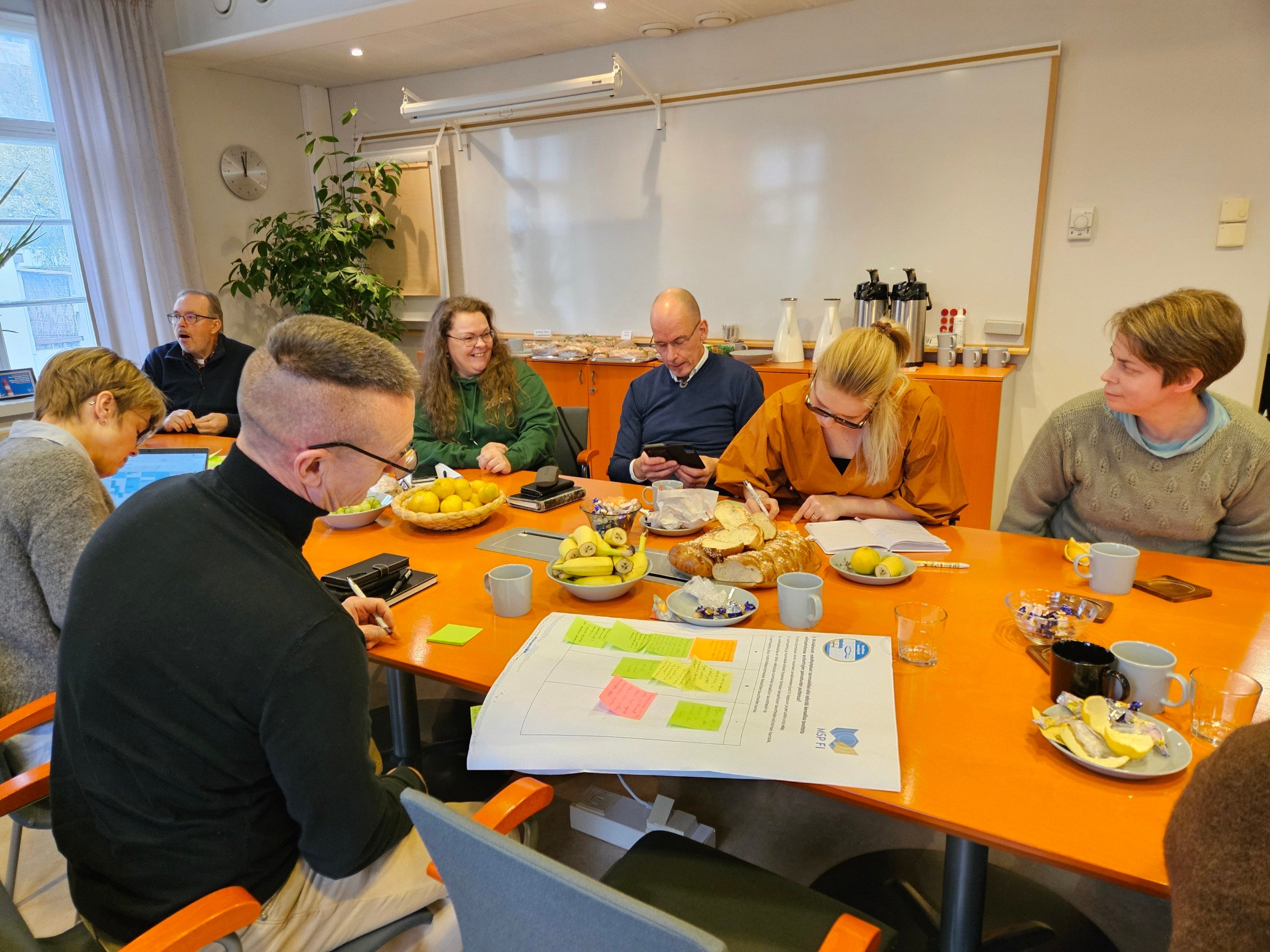
The regional event for the Archipelago Sea and Southern Bothnian Sea planning area was organised in Turku on 3rd November 2025.
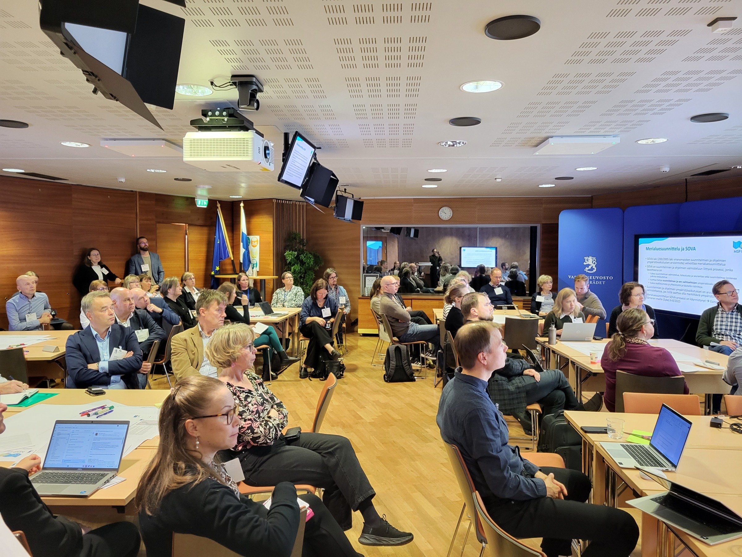
The interaction forums started with a national level event in Helsinki on 24th September 2025.